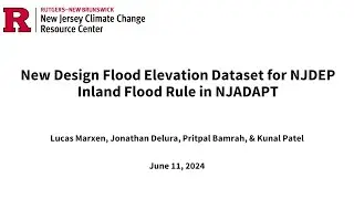
New Design Flood Elevation Dataset for NJDEP: Inland Flood Rule in NJADAPT
6/18/24 -- On July 17, 2023, the New Jersey Department of Environmental Protection (NJDEP) adopted its Inland Flood Protection Rule which, among other actions, establishes a new Design Flood Elevation (DFE) standard for specific types of new construction and redevelopment. The new DFE is three feet above the elevation of the 1% Chance Annual Flood for New Jersey (which is also known as the 100-year flood) or, where NJDEP flood mapping is available, 2ft above NJDEP’s flood hazard area design flood elevation, if that results in a DFE higher than FEMA’s 1% flood plus 3ft.
In consultation with the NJDEP, the NJ Climate Change Resource Center at Rutgers University prepared a new data layer for non-regulatory, planning purposes consistent with the new 2023 DFE for inclusion in its NJADAPT suite of data visualization and mapping tools. The new data layer provides a crucial understanding of where Design Flood Elevations will change for new construction and redevelopment and can support local efforts to safeguard critical facilities and community assets.
It is important to note that the new data layer is meant to be used non-regulatory planning tool for reference only and should not be relied upon for site-specific flood impact analyses, permitting, or other legal or regulatory purposes. The accuracy of this dataset is limited by the data and methods available to create it. This dataset is not based on survey quality data and must not be used in replacement of survey data.
Learn more at: https://njclimateresourcecenter.rutge... and https://njadapt.rutgers.edu/


